TAAT e-catalog
for
Development partners
https://e-catalogs.taat-africa.org/org/technologies/soil-information-workflow-8-steps-to-develop-a-soil-information-system-sis
Soil Information Workflow turns data into insights, helping professionals make smarter, sustainable decisions.
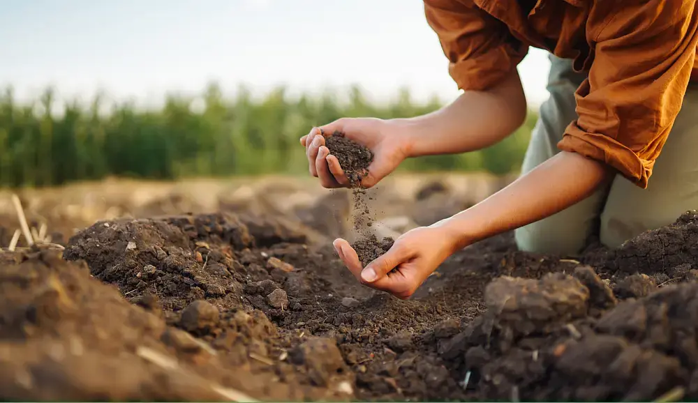
The Soil Information Workflow developed by ISRIC-World Soil Information provides a structured process for collecting, organizing, and delivering soil data. It consists of eight key steps: 1- needs assessment, 2- data collection, 3- laboratory analysis, 4- soil archiving, 5- data organization, 6- modeling and mapping, 7- applying soil information, and 8- serving the data. This workflow helps users, such as policymakers, intergovernmental organizations, farmers, and other stakeholders, to set up efficient soil information systems, enabling better soil management and decision-making for agricultural and environmental applications.
This technology is validated.
Adults 18 and over: Positive medium
By providing accurate soil information in a FAIR manner, users can enhance soil health through improved land management practices that result in better yields, profits, and economic returns.
The poor: Positive medium
SIS provides users with affordable and actionable solutions to enhance productivity, soil health, and income.
Under 18: No impact
Women: Positive medium
By providing accurate soil information in a FAIR manner, female users can enhance land management practices, leading to increased productivity and profitability which results in more between practitioners
Climate adaptability: Highly adaptable
SIS is adaptable and can respond to changing environmental conditions, including variations in weather.
Farmer climate change readiness: Moderate improvement
SIS enhance better decision-making and agricultural practices in the face of climate change impacts.
Biodiversity: Positive impact on biodiversity
Adopting a SIS can minimise soil contamination and fertiliser overuse, while also protecting nature and biodiversity.
Carbon footprint: Much less carbon released
The carbon footprint of a SIS is low compared to other technologies. SIS helps reduce emissions indirectly by promoting better soil management and informed decision-making.
Environmental health: Greatly improves environmental health
By minimising the use of machines and chemicals, SIS lowers carbon emissions and enhances environmental health.
Soil quality: Improves soil health and fertility
SIS can help maintain long-term soil fertility and productivity.
The 8 Steps to Develop a Soil Information System (SIS) provide a structured approach to collecting, analyzing, managing, and disseminating soil data for informed agricultural and land management decisions. The technology can be integrated into soil health, climate resilience, land restoration, agricultural planning, and environmental management programs. Its adoption contributes to SDG 2 (Zero Hunger), SDG 13 (Climate Action), SDG 15 (Life on Land), and SDG 17 (Partnerships for the Goals).
To integrate this technology into your project, plan and budget for the following activities and prerequisites:
Open source / open access
Scaling Readiness describes how complete a technology's development is and its ability to be scaled. It produces a score that measures a technology's readiness along two axes: the level of maturity of the idea itself, and the level to which the technology has been used so far.
Each axis goes from 0 to 9 where 9 is the “ready-to-scale” status. For each technology profile in the e-catalogs we have documented the scaling readiness status from evidence given by the technology providers. The e-catalogs only showcase technologies for which the scaling readiness score is at least 8 for maturity of the idea and 7 for the level of use.
The graph below represents visually the scaling readiness status for this technology, you can see the label of each level by hovering your mouse cursor on the number.
Read more about scaling readiness ›
Uncontrolled environment: validated
Common use by projects NOT connected to technology provider
| Maturity of the idea | Level of use | |||||||||
| 9 | ||||||||||
| 8 | ||||||||||
| 7 | ||||||||||
| 6 | ||||||||||
| 5 | ||||||||||
| 4 | ||||||||||
| 3 | ||||||||||
| 2 | ||||||||||
| 1 | ||||||||||
| 1 | 2 | 3 | 4 | 5 | 6 | 7 | 8 | 9 | ||
| Country | Testing ongoing | Tested | Adopted |
|---|---|---|---|
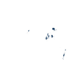
| Ethiopia | –No ongoing testing | Tested | Adopted |
| Ghana | –No ongoing testing | Tested | –Not adopted |
| Kenya | –No ongoing testing | Tested | –Not adopted |
| Zambia | –No ongoing testing | Tested | Adopted |
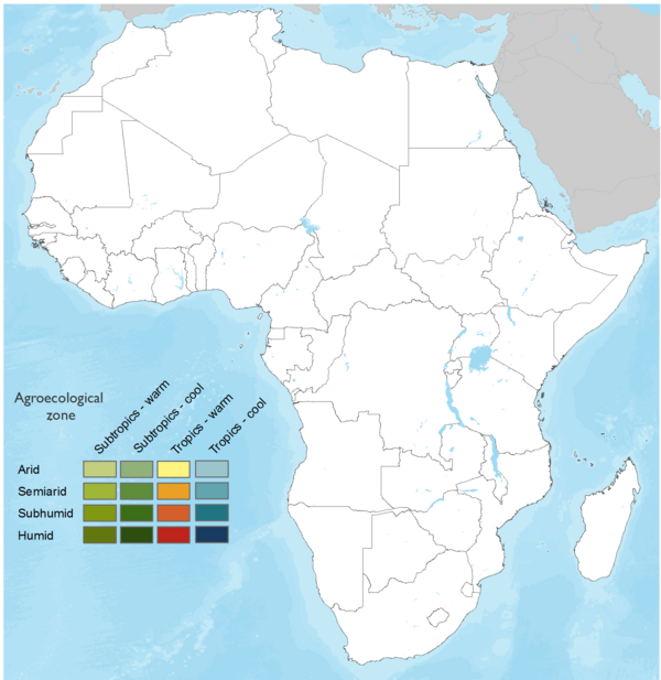
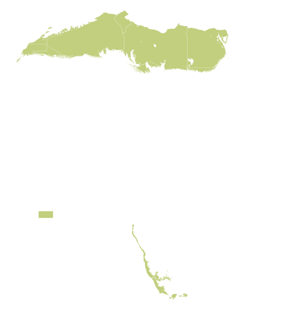
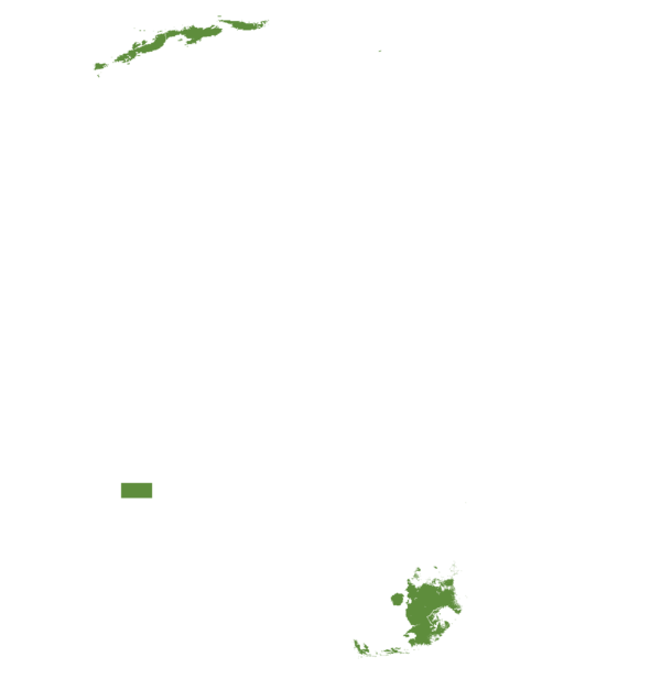
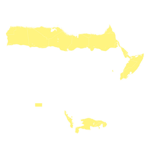
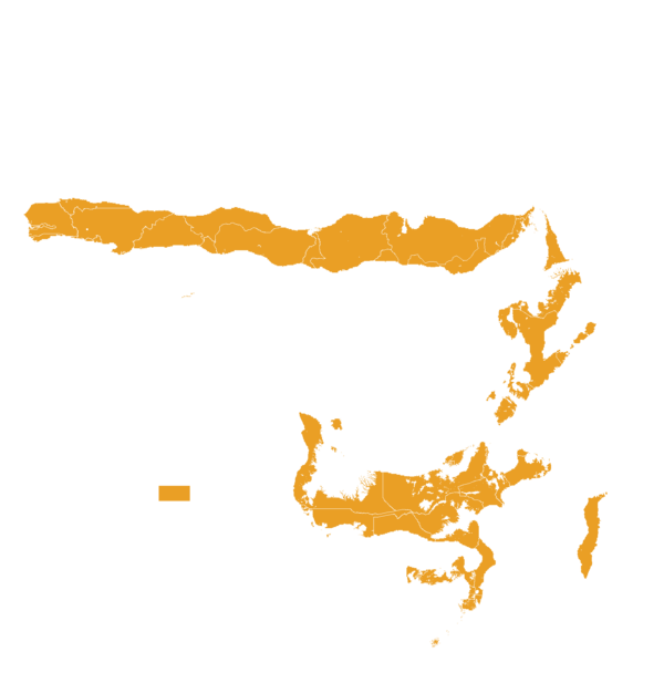
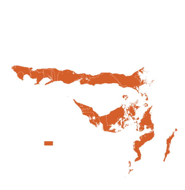
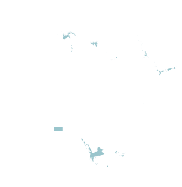
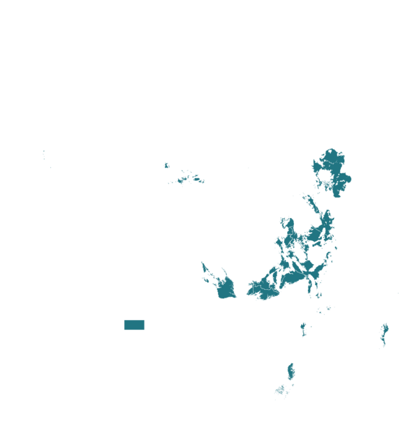
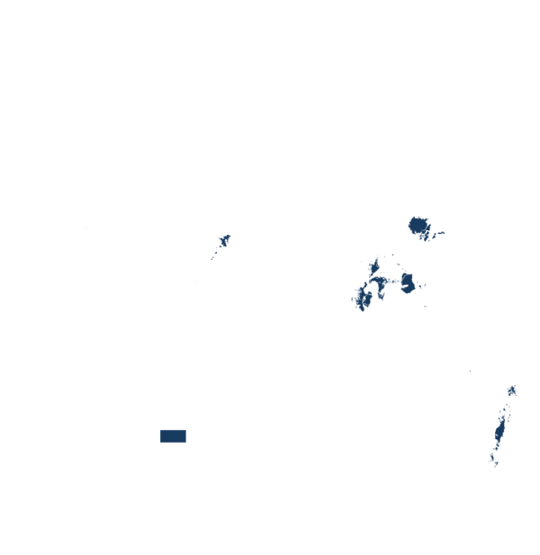
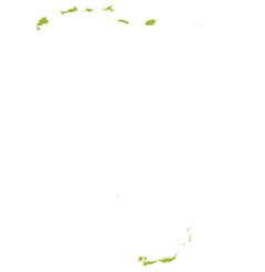
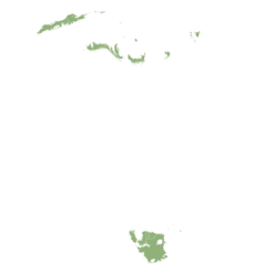
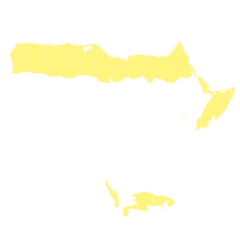
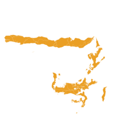
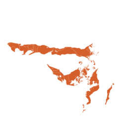
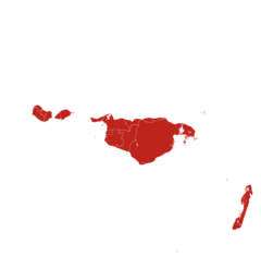
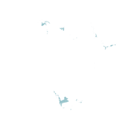
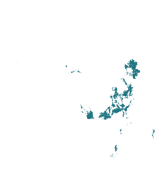
This technology can be used in the colored agro-ecological zones. Any zones shown in white are not suitable for this technology.








| AEZ | Subtropic - warm | Subtropic - cool | Tropic - warm | Tropic - cool |
|---|---|---|---|---|
| Arid | ||||
| Semiarid | ||||
| Subhumid | ||||
| Humid |
Source: HarvestChoice/IFPRI 2009
The United Nations Sustainable Development Goals that are applicable to this technology.
Developing SIS will enable policymakers, intergovernmental organizations, and other stakeholders to enhance soil management policies, priorities interventions, improve advisory services, and support broader goals related to food security and production.

Developing SIS will enhance policymaking, agricultural practices, and land management. By integrating these efforts, we can mitigate the effects of climate change.
SIS can help to prevent soil deterioration by providing accurate information on soil, which helps in the efficient allocation of resources and the implementation of appropriate interventions.
Depending on the needs, ISRIC can help with each step of the soil information workflow. See examples below:
Needs Assessment: Collaborate with ISRIC and CABI to develop a Soil Information System (SIS) roadmap by attending a workshop, guided by the SIS Framework developed with the Bill & Melinda Gates Foundation. The framework is available here.
Data Collection: After defining the use case(s) and objectives of the SIS, engage all stakeholders, including data providers, users, and funders. This stage includes designing and executing a field campaign to collect soil data. Examples from ISRIC’s partnership with IITA can be found here.
Laboratory Analysis: Once soil data is collected, the next phase involves laboratory analysis of the soil samples, with ISRIC collaborating with FAO for this work. More information is available here.
Soil Archiving: Organize and store the physical soil samples, specimens, and related documents in a structured archive, which supports the SIS with essential information. ISRIC’s efforts in soil archiving are showcased here.
Data Organization: Organize and integrate field, laboratory, and metadata into a central system for efficient management. For guidance on data organization, see an example here.
Modelling and Mapping: Once data is collected, analysed, and organized, the next step is modelling and mapping soil properties and types. See ISRIC’s tutorials for more details on data preparation and modelling here and here.
Applying Soil Information: Apply the soil data and models to various scales, from field-level to global. See examples of soil information application here and here.
Data and Information Serving: The final step is making the soil data accessible to users online. This can be done through platforms like WoSIS here.
For a comprehensive view of the soil information workflow, refer to ISRIC’s workflow page. Additionally, the ISRIC soil community of practice offers a collaborative space for sharing knowledge and learning at every stage of the process, available here.
Last updated on Sep 30, 2026
This technology can be used in the colored agro-ecological zones.









Soil Information Workflow: 8 steps to develop a Soil Information System (SIS)
https://e-catalogs.taat-africa.org/org/technologies/soil-information-workflow-8-steps-to-develop-a-soil-information-system-sis
Last updated on 30 September 2026, printed on Oct 9, 2026
Enquiries e-catalogs@taat.africa